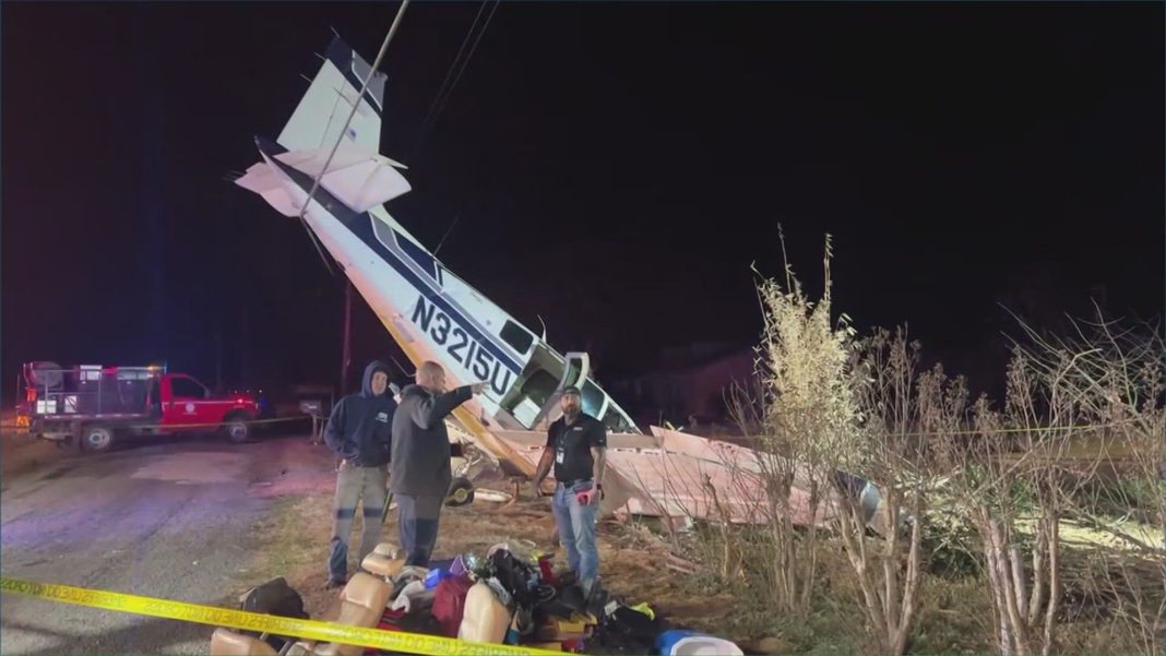

An experimental amateur-built Zenith STOL CH 701, registration N4209W, was destroyed after impacting trees and terrain near Marienville, Pennsylvania, at about 2157 local time on December 29, 2023. The flight was conducted under Part 91 as a personal cross-country flight. The pilot was fatally injured. The wreckage was located in wooded terrain inside the Allegheny National Forest, and no post-impact fire was reported.
ADS-B track data indicated the airplane departed runway 24 at Erie International Airport/Tom Ridge Field (ERI), Erie, Pennsylvania, at about 2058 local time. The intended destination was John Murtha Johnstown/Cambria County Airport (JST), Johnstown, Pennsylvania. No flight plan was filed and the flight was not in communication with air traffic control at the time of the accident.
After departure, the airplane proceeded generally eastbound at an altitude of about 3,100 ft mean sea level (msl), with small deviations toward the east-northeast before turning onto a southeasterly track toward JST. Weather information along the route showed areas of cloud cover with bases ranging between 1,700 and 3,300 ft msl. A weather model estimated cloud bases near 3,000 ft msl in the vicinity of the accident site around the time of the accident.
About 90 seconds before the final recorded ADS-B data point, weather radar indicated the airplane entered an area of light reflectivity consistent with developing light snow. Around this time, the airplane began a left turn at about 2,900 ft msl, which was about 1,300 ft above ground level (agl). Data showed the left turn tightened as the airplane climbed to about 3,350 ft msl and then entered a steep descent in a tight left spiral.
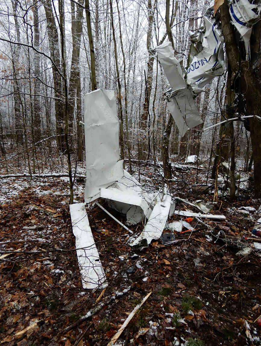
The last ADS-B-observed position at 2156:56 showed the airplane at an altitude of 2,150 ft msl. The airplane impacted trees and terrain about 450 ft northwest of that final ADS-B position. The initial impact point was the top of a hardwood tree about 70 ft tall, and the airplane continued through the trees at an estimated 60° descent angle until the main wreckage came to rest lodged in another hardwood tree. The documented wreckage path was about 65 ft long and about 25 ft wide. Both wings and the main landing gear separated during impact, and all major structural components were accounted for at the site.
Weather observations near the accident area included an overcast ceiling at 800 ft agl and 4 statute miles visibility in mist at 2153 local time at Dubois Regional Airport (DUJ), located about 18 miles south-southeast of the accident site. At 2155, St Marys Municipal Airport (OYM), located about 26 miles east, reported a ceiling at 1,400 ft agl and 10 statute miles visibility. Forecast products referenced marginal visual flight rules conditions with local instrument flight rules conditions due to light snow and mist, and graphical AIRMETs for mountain obscuration were valid at the time of the accident.
Archived records reviewed for the flight indicated the pilot did not request a weather briefing through the FAA flight service provider. Information provided by a flight planning software provider indicated the pilot accessed an account and updated a planned route around 1800 on the day of the accident, but did not file a flight plan or obtain a weather briefing through that service, and no weather imagery was viewed through the account.
A postaccident examination found no evidence of any preimpact mechanical malfunctions or failures that would have precluded normal operation. No maintenance logs for the airframe, engine, or propeller were located, and the accumulated airframe time could not be determined. Fueling information from the fixed-base operator at ERI stated the airplane was serviced with 24.5 gallons of 100LL on December 29, 2023, and fuel records indicated the tanks were topped off.
Postmortem toxicological testing detected methamphetamine and amphetamine, along with additional substances including phenylpropanolamine, ephedrine, and modafinil and its metabolite. The published analysis stated methamphetamine has substantial potential to result in impairment, and that the degree to which its effects contributed to the pilot’s decision-making could not be determined with certainty.
Probable cause (as stated): “The pilot’s decision to continue visual flight into deteriorating visibility conditions at night, which resulted in spatial disorientation and subsequent descent that continued to ground contact.”